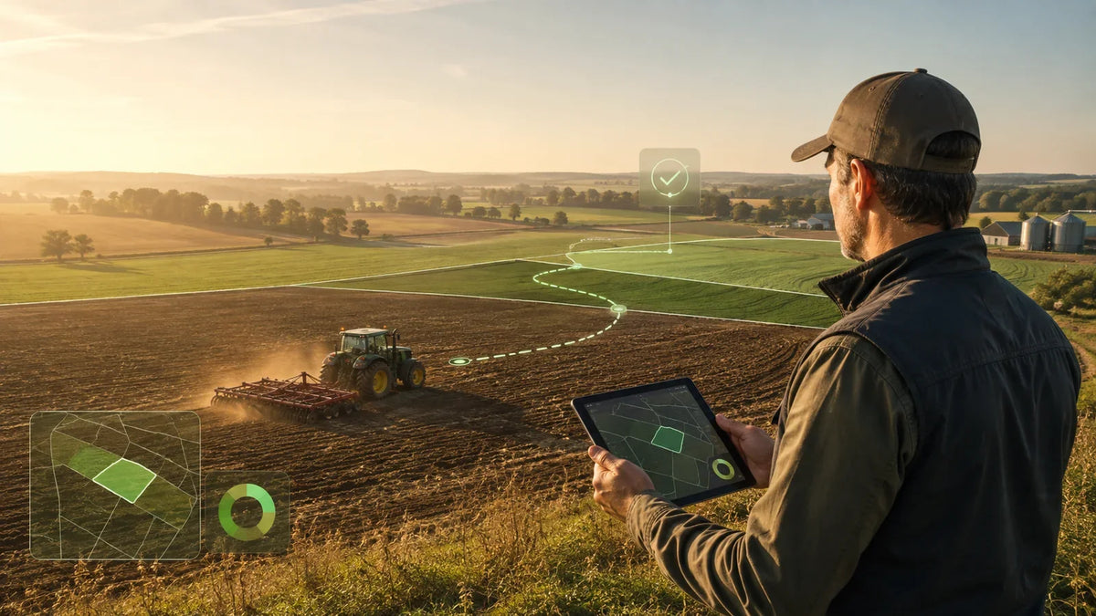
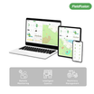


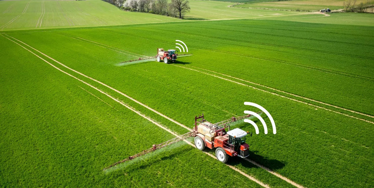
Before the tractor moves, the route should already make sense. A field may look simple from the road, but its shape, entry point, headland space, working width, and obstacles can produce very different route options. Choosing a direction without comparing those options can create more turns, awkward transitions, or a plan that looks efficient on a screen but does not fit the real field.
Farm path planning gives managers and operators a way to compare possible field routes before work begins. The goal is not to remove operator judgment. It is to make the route decision visible, measurable, and easier to review before the machine enters the field.
What is farm path planning?
Farm path planning is the process of creating and comparing routes that allow an agricultural machine to cover a field while accounting for the field boundary, working direction, implement width, turns, and other operating constraints.
A typical coverage route combines parallel working passes with the transitions needed to move between them. Research on agricultural coverage path planning describes the same core challenge: cover the required field area while considering travel distance, guidance tracks, headland maneuvers, and the physical limits of agricultural machines. See this open-access study on coverage path planning for agricultural vehicles.
In practice, the most useful route is not always the one that looks shortest at first glance. A workable plan must also make sense for the machine, implement, access point, turning space, field conditions, and the operation being performed.
Why route direction matters before fieldwork begins
Changing the direction of the working passes can change the number of turns, total travel distance, and estimated operation time. This becomes especially important in irregular fields, fields with narrow sections, or fields where the longest edge does not align with the safest entry and exit.
Route planning can help answer questions such as:
- Which working direction creates fewer turns?
- How does a different baseline change the total route distance?
- Is there enough headland space for the planned transitions?
- Does the route begin from a practical field entrance?
- Will the selected pattern work with the implement width?
- Which option is easiest for the operator to understand and review?
A field path planner turns these questions into visible alternatives. Agricultural route-planning research also emphasizes the importance of field boundaries, tractor and implement characteristics, traveled distance, time, and field efficiency when comparing possible solutions. For a technical example, see the study on path planning in polygonal agricultural fields.
What should you compare between route suggestions?
A route preview is useful only when the comparison supports a real operating decision. When FieldFusion presents multiple route suggestions, review the map and the available planning indicators together.
- Turns: More passes can mean more transitions at the headland. Check whether the number and type of turns are practical for the tractor and implement.
- Distance: Compare the estimated route length, but do not use distance as the only decision factor.
- Estimated time: Time estimates help compare alternatives under the selected planning assumptions. They are not a guarantee of actual field completion time.
- Working direction: Review how the guidance lines relate to the field’s longest edges, slope, rows, entrance, and known obstacles.
- Route shape: Zoom in on corners, narrow sections, and headlands. A route that performs well numerically may still need adjustment after a practical review.

How to plan a field route in FieldFusion
1. Add or select the field
Start with a field boundary you trust. Confirm that the outline follows the actual workable area and does not include roads, buildings, water, tree lines, or other places the machine should not enter. If the boundary is inaccurate, every route generated from it will inherit that error.
2. Review the operation and equipment assumptions
Think about the job before generating the route. Planting, spraying, fertilizing, mowing, and tillage may use different implements and working widths. Also consider the expected travel direction, field entrance, headland space, and any areas that require special handling.
Use the correct working width and review the default speed or other planning values shown in the interface where applicable. These values affect the comparison; they should reflect the intended operation rather than a generic machine setup.
3. Generate route suggestions
Use Smart Field Routing to generate possible coverage patterns, or use the available manual-direction option when you already have a preferred baseline. The planner can present several suggestions based on different working directions.
4. Compare the alternatives
Review the number of turns, route distance, and estimated time for each suggestion. Then inspect the route itself. Look at how the passes meet the boundary and whether the transitions appear realistic for the machine and implement you expect to use.
5. Check the route against the real field
Satellite imagery and field boundaries cannot show every current condition. Confirm entrances, ditches, poles, irrigation equipment, wet areas, steep sections, crop rows, people, animals, and temporary obstacles. The operator or farm manager should make the final decision based on current field conditions and local safety requirements.
6. Select the most practical plan
Choose the route that provides the best overall fit—not simply the lowest number in one column. Keep the selected route as a planning reference. If you later want to synchronize, export, or follow the route with equipment, confirm the required plan, file format, hardware, and machine compatibility first.
A practical example: three routes for the same field
Imagine a long field with a narrow entrance on one side. FieldFusion generates three suggestions. Two options have the same number of turns and almost the same distance. A third option is slightly longer and adds more turns.
The first reaction may be to choose the shortest option. Before confirming it, the manager checks the route direction against the entrance, the available headland, and the implement’s turning needs. If the shortest route begins from an inconvenient position or creates difficult headland transitions, the second option may be more practical even if its estimated time is a few seconds longer.
This is the value of comparing routes before the tractor moves: the team can discuss visible alternatives instead of discovering every constraint during the operation.
Can you try path planning without connected machinery?
Yes. You can explore the planning workflow without connecting an FJD or SVEA terminal. Start with a familiar field, create or select its boundary, generate route suggestions, and compare the available directions and planning indicators.
Connected hardware is relevant when you want to synchronize data to compatible equipment, follow the route in the cab, or collect machine-based operation records. Those capabilities depend on the device, plan, connection method, and configuration. They are separate from learning how to create and compare a field route in FieldFusion.
This makes path planning a useful first free-trial workflow: you can evaluate the planning experience with your own field before making any hardware decision.
Common farm path-planning mistakes
- Starting with an inaccurate boundary. Verify the workable field area before comparing routes.
- Using the wrong working width. The implement width affects pass spacing and the route comparison.
- Looking only at distance. Turns, time, access, headland space, and field conditions also matter.
- Ignoring the field entrance. A good coverage pattern still needs a practical starting point.
- Forgetting current obstacles. Maps may not show temporary or recently changed conditions.
- Treating a planned route as an autonomous-driving guarantee. Path planning supports preparation; actual machine guidance or automation requires compatible equipment and a safe operating setup.
Field route checklist before you start
- Is the field boundary accurate?
- Is the selected entrance accessible?
- Does the working width match the intended implement?
- Is there enough space for headland turns?
- Have obstacles and restricted areas been checked?
- Have you compared turns, distance, time, and direction?
- Has an operator or manager reviewed the plan against current field conditions?
A route is ready when it works both on the map and in the field.
Plan before the tractor moves
Farm path planning makes route decisions easier to see and compare before fieldwork begins. FieldFusion lets you start with a field boundary, review alternative route suggestions, and compare indicators such as turns, distance, and estimated time.
You do not need connected machinery to explore this planning workflow. Begin with one familiar field, compare the options, and decide whether the result fits the way your team actually works.
Frequently asked questions
Does farm path planning drive the tractor automatically?
No. Path planning creates and compares a proposed route. Following that route through guidance or automated steering requires compatible equipment, configuration, and safe operating procedures.
Do I need FJD or SVEA hardware to try FieldFusion Path Planning?
No. You can create or select a field and explore route suggestions without connected machinery. Hardware compatibility becomes relevant when you want to synchronize the plan to a terminal or use machine-connected workflows.
Why do two routes for the same field have different results?
Different baselines or working directions can change the number of passes, headland transitions, route distance, and estimated time. Field shape and planning parameters also affect the result.
Should I always choose the route with the shortest distance?
No. Compare distance with turns, estimated time, entrance location, turning space, obstacles, terrain, crop rows, and operator experience. The most practical route is the one that fits the real operation.
Can I use the same route for every field operation?
Not necessarily. Different operations may use different implements, working widths, speeds, or field-access requirements. Review the route again when the operation or equipment changes.